

TUCSON, Ariz. (KGUN) — Hot temperatures will continue as we go into the middle of the week with highs in the upper 90s to near 100° as high pressure remains in control of our weather pattern.
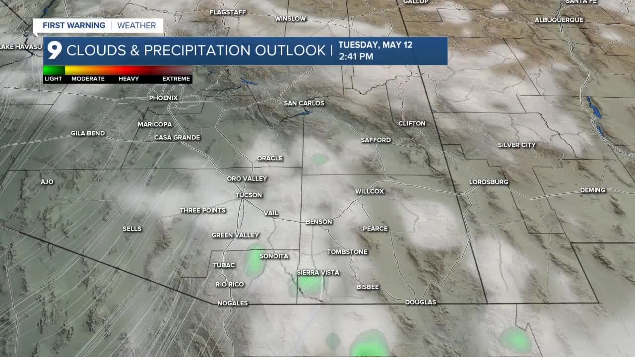
A little moisture is also moving across southeastern Arizona and will help create a few light showers to the south and east of Tucson Tuesday afternoon.
Wednesday, the moisture will be pushed east by a fairly strong southwest flow that will bring gusty wind back to southern Arizona and high wildfire risk.
Slightly cooler temperatures arrive for the end of the week with highs in the low to mid-90s and overnight lows in the low to mid-60s.
The weather resembles a typical May weather pattern and will do so through the weekend.
Cochise County Forecast
——-
Cuyler Diggs is a KGUN 9 Meteorologist. Cuyler has been forecasting the weather in southern Arizona since 2003. He has experience forecasting and covering all kinds of weather since becoming a weather anchor in 1996. Share your story ideas and important issues with Cuyler by emailing cuyler.diggs@kgun9.com or by connecting on Facebook and X.

MORE WEATHER
WEATHER STATS AND FACTS
