
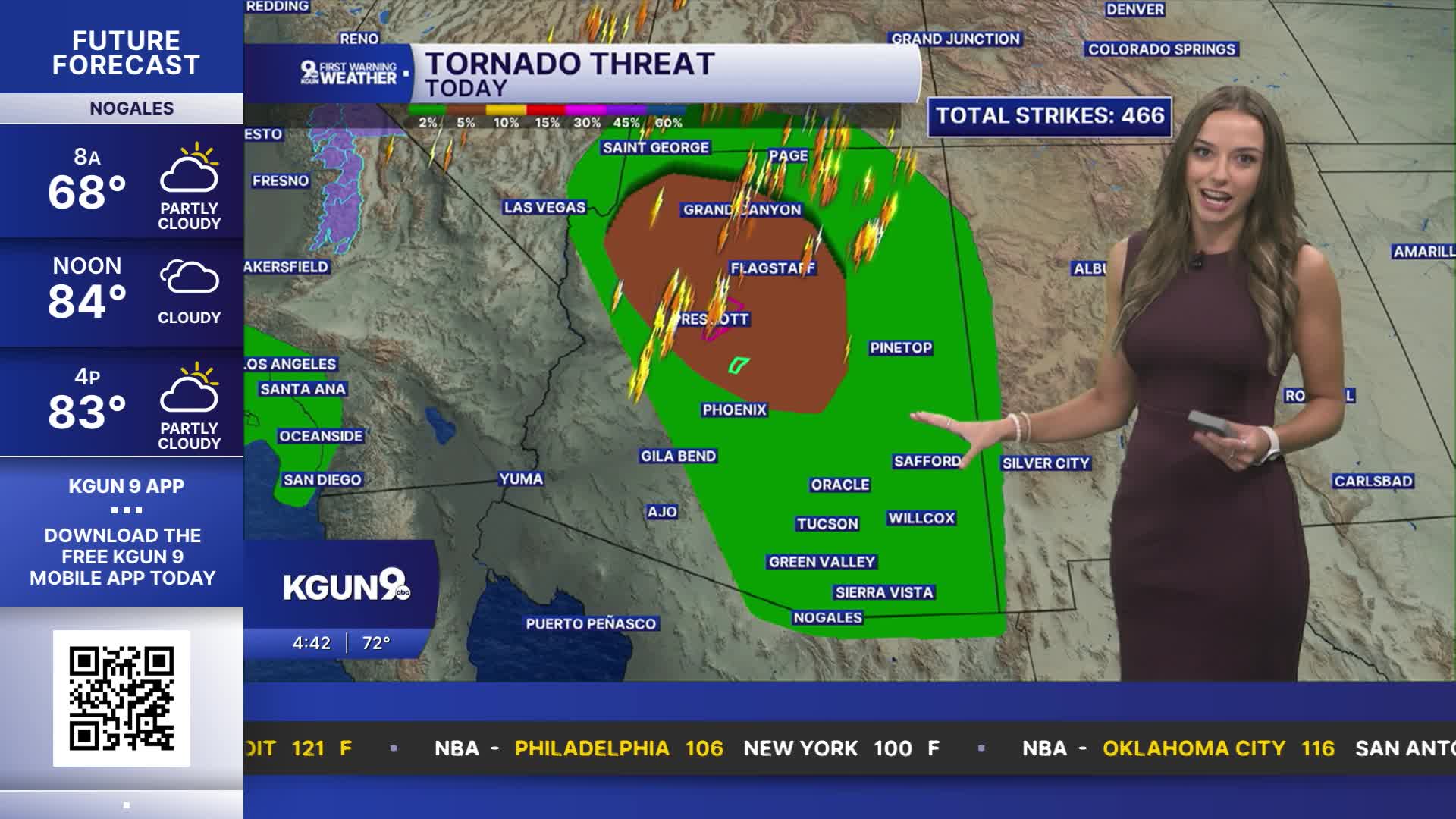


The National Weather Service has issued a Tornado Warning for portions of Coconino County, including Flagstaff, that lasts until 9:45 a.m.
⚠️ Tornado Warning ⚠️ in effect until 9:45 AM MST for portions of Coconino County. This includes Flagstaff, Fort Valley, Mt. Elden, University Heights, Rogers Lake, and A1 Mountain. More info: https://t.co/OwBaODtiDN. #azwx https://t.co/tKZlx13Vg0
— NWS Flagstaff (@NWSFlagstaff) October 21, 2026
A powerful fall storm is moving into Arizona.

It already gave us a preview. A severe storm dropped large hail from Chandler to Mesa Tuesday night.
Winds will pick up, temperatures will drop and strong to severe storms will impact parts of the state.
Damaging winds of 60 to 70 mph and large hail 2 inches or larger in diameter will be possible with some of the strongest storms that move through.
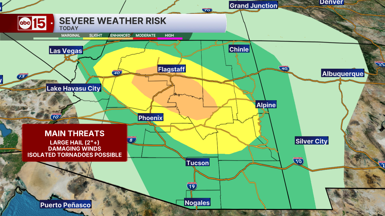
Isolated tornadoes are possible too, particularly across parts of the high country on Wednesday.
Could Arizona see a tornado Wednesday? A tornado watch may be issued later in the day, with the best chance happening along the rim and in the high country Wednesday afternoon.
Hail, damaging winds and flooding are the bigger threats in the Phoenix area.
Heavy downpours could lead to flooding in many areas. That’s why much of the state is under Flood Watches Wednesday and Thursday.
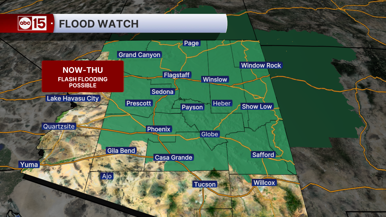
Parts of the Valley could get up to an inch of rain, with 1 to 2 inches in the foothills north and east of Phoenix. Some high country spots could see 1 to 3 inches, with a few spots getting 3 to 5 inches!

Valley temperatures will drop into the 70s by Friday as our forecast starts to dry back out. That will put us about 5 degrees below normal for this time of year.

Highs stay near 80 over the weekend, then climb back into the mid-80s early next week. Aside from a few light showers in the high country Saturday, our forecast across most of the state is looking dry.
Want more news in your community? Add ABC15 as a preferred source on Google below: