

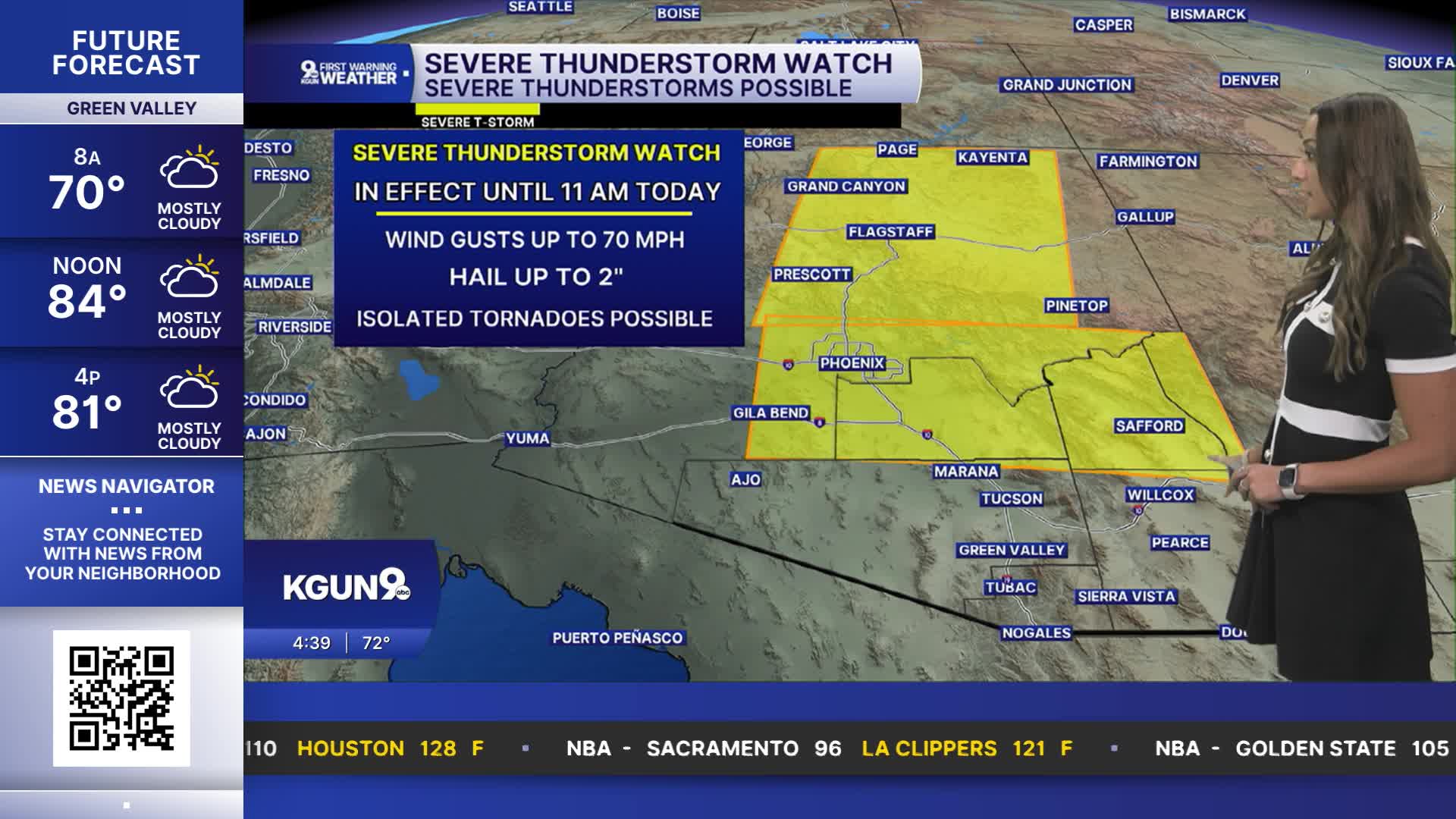


TUCSON, Ariz. (KGUN) — A severe thunderstorm watch is in effect for Pinal, Graham and Greenlee counties until 11 a.m. today as storms increase across southeastern Arizona.
Thunderstorm activity has been gradually building and is expected to expand through the morning, bringing the potential for damaging winds, large hail, isolated tornadoes and heavy rainfall.
Damaging storms and flash flooding possible
A strong storm system moving inland from Southern California is expected to track northeast through the day, fueling thunderstorms across the region.
Storms could produce wind gusts of at least 58 mph, hail 1 inch in diameter or larger and rainfall rates of 1 to 2 inches per hour. A few tornadoes are also possible, particularly north and northeast of Tucson.
Eastern Pinal County, northern Cochise County, and Graham and Greenlee counties are under a slight risk for severe weather, according to the Storm Prediction Center.
A flash flood watch also remains in effect for Pinal, Graham and Greenlee counties.
Cooler temperatures arrive Friday
Temperatures will remain near or slightly above normal today before cooler weather moves in Friday and continues through the weekend.
Drier conditions are expected Friday, though a few showers could linger near the New Mexico border. Freezing temperatures are also possible Sunday and Monday mornings at the highest elevations of the White Mountains.
COCHISE COUNTY FORECAST
MORE WEATHER
WEATHER STATS AND FACTS
