

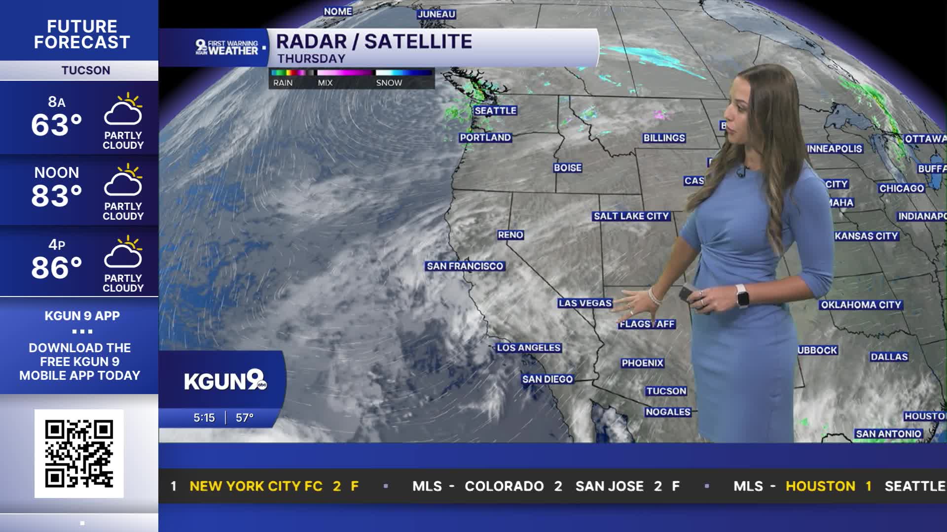


TUCSON, Ariz. (KGUN) — Tucson is expected to reach the mid-80s Thursday, with dry conditions continuing across southeastern Arizona. That changes Friday, when showers and thunderstorms are expected to return, bringing the potential for moderate to heavy rainfall. Some storms could produce gusty winds, small hail and localized flash flooding, particularly in parts of northern Pima, Pinal, Graham and Greenlee counties.
Storm chances are expected to ease during the day on Saturday, with only a minimal chance for isolated showers and thunderstorms on Halloween. However, a stronger storm system is expected to move into the region Saturday night, setting the stage for a wetter stretch heading into Sunday.
Widespread rain and scattered thunderstorms are expected Sunday into Monday, with periods of moderate to heavy rainfall possible. Forecast rainfall totals range from half an inch to 1 inch in valley areas, with 1 to 2 inches or more possible in the mountains and parts of Pinal, Graham and Greenlee counties. Flash flooding could become a concern, especially near mountain areas and rivers and creeks in Graham and Greenlee counties. Temperatures are also expected to drop below normal from Friday into early next week.
COCHISE COUNTY FORECAST
MORE WEATHER
WEATHER STATS AND FACTS
