

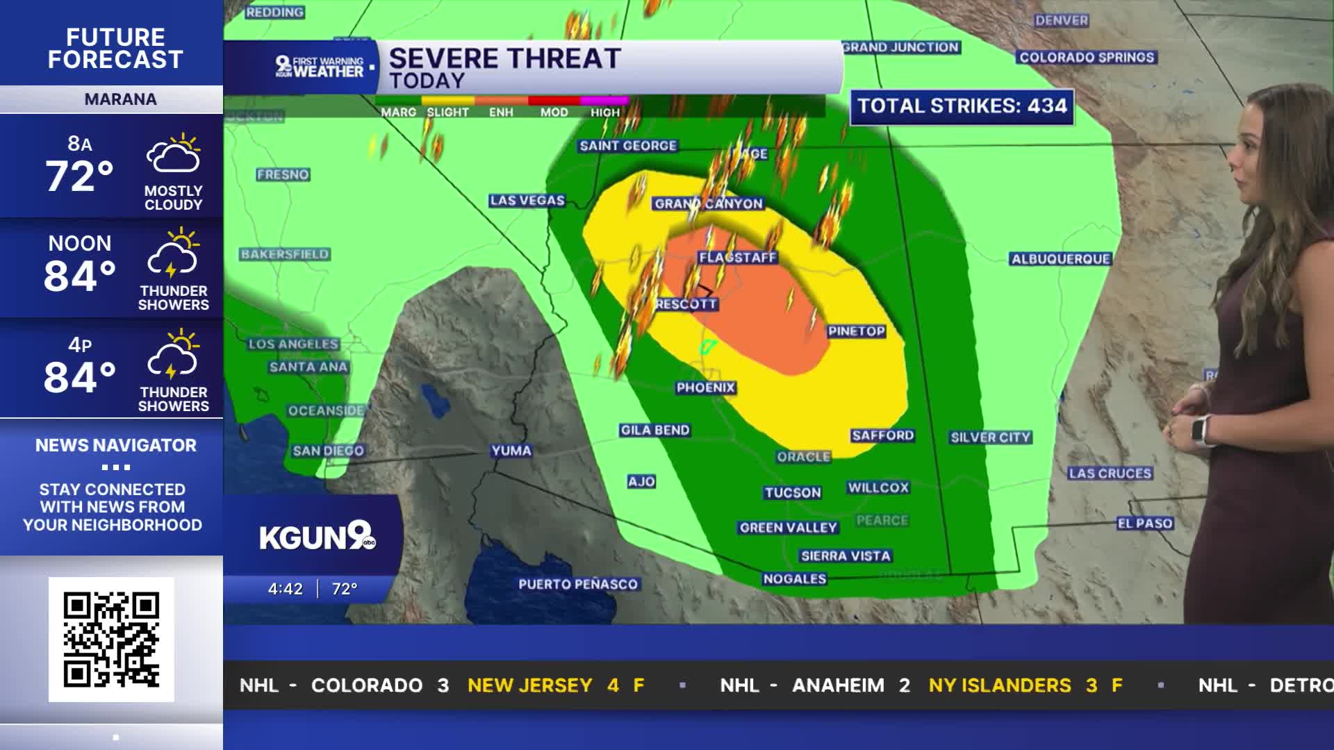


TUCSON, Ariz. (KGUN) — An unsettled weather pattern will bring another round of showers and thunderstorms to southeast Arizona today and Thursday, with some storms capable of producing heavy rain, strong winds and hail. Temperatures will stay near or slightly above normal through Thursday before cooler air moves in for the end of the week and into the weekend.
The stormy weather is being fueled by a strong upper-level low-pressure system off the Southern California coast. Storms are expected to increase this afternoon and could cause some strong wind gusts and brief periods of intense rainfall. Rain could fall at rates of 1 to 2 inches per hour in the strongest storms, raising the risk of flash flooding, especially in Pinal, Graham and Greenlee counties. Additional strong storms are possible this evening and overnight, followed by another round Thursday as the system moves inland.
A Flash Flood Watch remains in effect for Pinal, Graham and Greenlee counties from later today through Thursday. Heavy rain falling in a short amount of time can quickly overwhelm drainage systems and send water rushing across roads, washes and low-lying areas. Never drive through flooded roadways, and be especially cautious around normally dry washes. Drier air is expected to move in Friday, although a few showers could linger near the New Mexico border through the weekend. Temperatures will turn cooler than normal, with freezing temperatures possible Sunday and Monday mornings at the highest elevations of the White Mountains.
——
Athena Kehoe is a multimedia journalist and producer at KGUN 9. Four years ago, Athena moved to Arizona and has not looked back at the Midwest since. She is a very avid basketball and football fan, so you might hear her getting into the games at local Tucson sports hangouts. She is eager to share stories among the Tucson community and you can reach her at athena.kehoe@kgun9.com or by connecting on X/Twitter or LinkedIn.

MORE WEATHER
WEATHER STATS AND FACTS
