

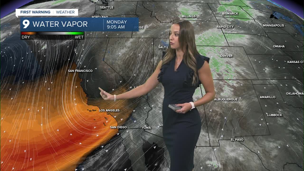


TUCSON, Ariz. (KGUN) — Southeast Arizona is in for a wet and unsettled stretch today through Tuesday as a storm system moves across the region and pulls deep tropical moisture north from Mexico. Showers and thunderstorms will become more widespread this afternoon, with heavier rain developing tonight.
The biggest concern comes Monday night through Tuesday afternoon, when repeated rounds of thunderstorms could produce heavy rain and flash flooding. Widespread rainfall of three-quarters to 1.25 inches is expected, with 2 to 3 inches possible where storms repeatedly move over the same areas, especially near the Catalina and Rincon mountains.
Expect water flowing through normally dry washes, ponding on roads and in low-lying areas, and potentially dangerous travel conditions. A Flash Flood Watch is in effect from 11 a.m. Monday through 11 p.m. Tuesday. Strong or severe storms are possible Tuesday, but flooding will be the main concern.
After the storm system moves through, conditions turn much quieter and drier for the second half of the week. Temperatures will run about 5 to 10 degrees below normal through Wednesday before gradually warming back toward normal late in the week.
MORE WEATHER
WEATHER STATS AND FACTS
