

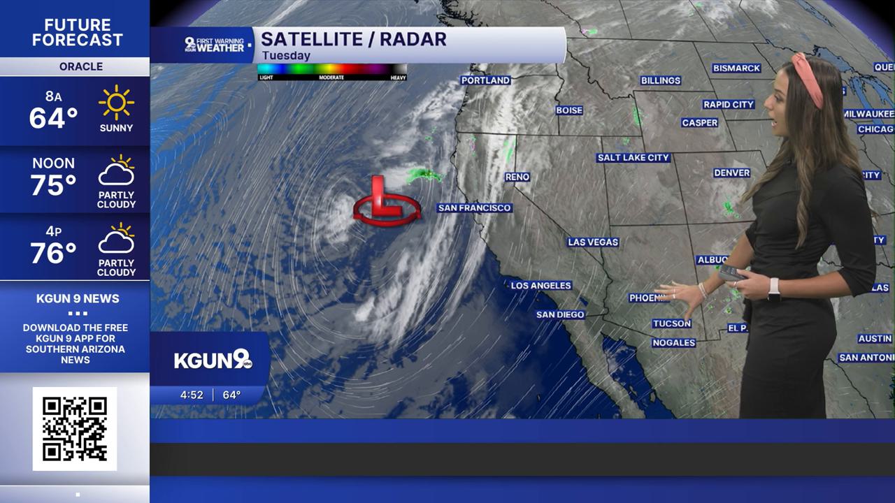


TUCSON, Ariz. (KGUN) — Rain and thunderstorms are in the forecast across Southern Arizona this week, with the best chances for widespread storms and heavy rainfall Wednesday and Thursday. Today, temperatures will stay near normal, with isolated to scattered showers and thunderstorms developing mainly north and east of Tucson this afternoon. The bigger weather system is still off the California coast. It’s an upper-level low, an area of lower pressure high in the atmosphere. Ahead of it, winds will pull extra moisture into Arizona, setting the stage for heavier rain later this week.
Wednesday and Thursday look to bring the greatest concern for heavy rain and possible flash flooding, especially across Pinal, Graham and Greenlee counties. Some thunderstorms could also become severe Wednesday, particularly north of Tucson, bringing the potential for damaging winds and other hazards. A Flood Watch is in effect for portions of these counties during the storm system’s arrival, mainly from late Wednesday morning through late Thursday night. Rainfall amounts will vary, but some areas could receive more than an inch, with higher totals possible in the mountains.
Drier air is expected to move in Friday, bringing cooler temperatures and a gradual decrease in storm chances. A few showers may linger near the New Mexico border into the weekend, while temperatures dip below normal across the region.
MORE WEATHER
WEATHER STATS AND FACTS
