
Southern Arizona will stay warmer than usual through the end of the week before a Pacific storm system brings a change in the weather this weekend.
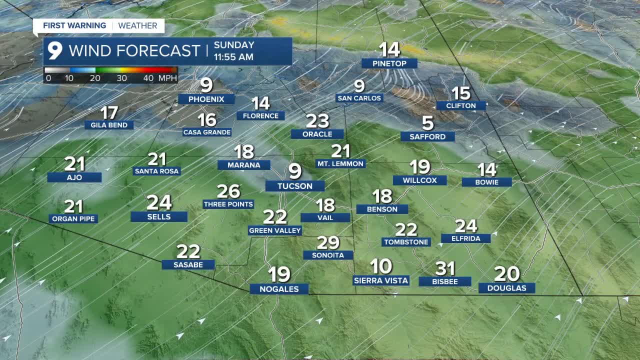
High temperatures are expected to remain 5 to 10 degrees above normal through Friday, keeping afternoons mild and dry. A low-pressure system moving in from the Pacific Ocean is forecast to impact the region by Sunday, bringing the first chances for rain, high-elevation mountain snow, cooler temperatures, and breezy conditions. Unsettled weather is expected to continue into early next week, along with below-normal temperatures.
Overnight lows on Thursday will stay on the mild side. Tucson is forecast to dip to around 58 degrees, with most of Pima County in the mid-50s to low-60s. Sierra Vista will see a low near 53 degrees, while Cochise County will range from the 40s to 50s.
Daytime highs will again climb into the upper 70s to mid-80s. Tucson’s high is expected to reach 85 degrees, while Sierra Vista will top out near 78 degrees, consistent with much of Cochise County warming into the upper 70s and low 80s.
----
MORE WEATHER
WEATHER STATS AND FACTS
