



TUCSON, Ariz. (KGUN) — Daily chances for showers and thunderstorms are expected across much of Southeast Arizona this week, though storm coverage and intensity will vary from day to day.
Monday and Wednesday are currently expected to be among the more active days for storms, with coverage increasing again from Friday through next weekend.
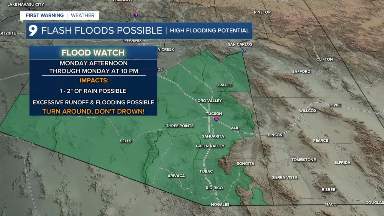
A Flood Watch is in effect Monday afternoon through 10 p.m. Monday for Pima and Santa Cruz counties, bringing an increased risk for flooding with heavier thunderstorms.
Temperatures will also undergo a noticeable change this week.
Afternoon highs Sunday will run 5 to 8 degrees above normal before temperatures fall back to near normal Monday and Tuesday. An additional cooldown is expected Wednesday and Thursday, when highs could run 3 to 6 degrees below normal before temperatures begin warming again.
Monday morning will start warm across Pima County, with most communities waking up to temperatures in the upper 70s.
Tucson is forecast to see an overnight low around 79 degrees.
Across Cochise County, temperatures will be cooler, with many communities starting the day in the 60s. Sierra Vista is expected to wake up to a low near 67 degrees.
----
MORE WEATHER
WEATHER STATS AND FACTS
