

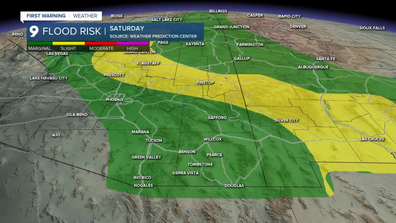


TUCSON, Ariz. (KGUN) — Scattered showers and thunderstorms are expected to once again impact Southeast Arizona Friday afternoon and evening, bringing an elevated risk of flash flooding.
The greatest concern will be in areas that received heavy rainfall Thursday, where already saturated ground could increase the risk of flooding from additional storms.
Thunderstorm chances will continue through the coming week, though the location and severity of storms will vary from day to day.
Saturday morning will begin with mild temperatures across much of Southern Arizona.
Tucson is forecast to wake up to a low around 74 degrees, with similar overnight temperatures expected across much of Pima County.
Communities farther south, including Green Valley and Sasabe, will be slightly cooler with lows falling into the 60s.
Across Cochise County, overnight temperatures will also drop into the 60s. Sierra Vista is forecast to wake up around 67 degrees.
The continued presence of moisture and scattered thunderstorm chances will help keep afternoon temperatures slightly below average in some areas Saturday.
Tucson is forecast to reach a high near 92 degrees, while Sierra Vista is expected to top out around 84 degrees.
Farther west, hotter conditions will remain in place, with communities including Ajo and Organ Pipe approaching triple-digit temperatures.
----
MORE WEATHER
WEATHER STATS AND FACTS
