

TUCSON, Ariz. (KGUN) — Moisture moving into southern Arizona is bringing a chance for showers and thunderstorms through Monday, with another round possible northeast of Tucson by Wednesday.
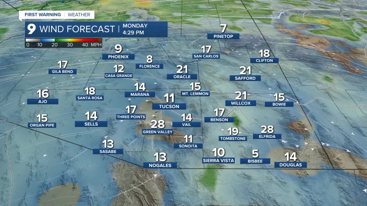
Some of the stronger storms could produce gusty and erratic winds, along with areas of blowing dust.
Temperatures will stay above normal through much of the week. Highs are expected to run about 7 to 10 degrees above average through Tuesday, before dropping slightly to around 3 to 5 degrees above normal later in the week.
Morning lows will remain mild. Tucson is expected to start the day around 66 degrees, with most of Pima County in the 60s. Sierra Vista will wake up near 59 degrees, while the rest of Cochise County will see lows in the 50s.
Afternoon temperatures will climb quickly. Tucson is expected to reach a high near 89 degrees, with central and western Pima County pushing into the low 90s. Sierra Vista will top out around 80 degrees.
While rain chances remain scattered, any storm that develops could bring sudden wind shifts and reduced visibility from blowing dust.
----
MORE WEATHER
WEATHER STATS AND FACTS
