

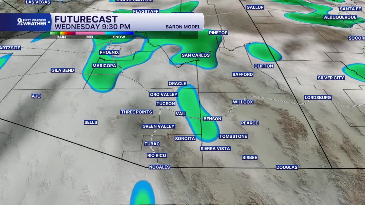


TUCSON, Ariz. (KGUN) — Southern Arizona is in for an unsettled week, with daily chances for showers and thunderstorms and the best odds for rain areawide arriving Wednesday afternoon and lasting into Thursday.
Temperatures will run at or slightly above normal through Thursday before cooler-than-normal air moves in Friday and sticks around into the weekend.
Tuesday morning starts mild, with lows in the mid-60s across much of the Tucson metro. Tucson and Oro Valley drop to 65 degrees, while the Catalina Foothills bottom out at 66. Green Valley and Vail start cooler at 59, and Mount Lemmon dips to 49.
By Tuesday afternoon, highs climb into the upper 80s. Tucson, Oro Valley and Marana all reach 89 degrees, with Sahuarita at 88 and Green Valley at 87. Vail tops out at 83, SaddleBrooke at 81 and Mount Lemmon at 62. Phoenix hits 92.
Southeastern Arizona stays a bit cooler. Tuesday morning lows fall into the mid- to upper 50s, with Benson, Sonoita and Elfrida at 55, Willcox and Tombstone at 56, and Sierra Vista and Bisbee at 58. Nogales starts at 59.
Afternoon highs reach the upper 70s and low 80s. Sierra Vista, Willcox, Benson and Tombstone hit 81 degrees, Douglas reaches 83 and Bisbee tops out at 77. Nogales climbs to 85 and Sonoita to 80.
Isolated showers and storms are possible each day this week, but Wednesday afternoon through Thursday brings the best chance for widespread rain across Southern Arizona.
Anyone with outdoor plans should keep an eye on the sky. When thunder roars, head indoors, and never drive through flooded roadways or washes.
Cooler-than-normal temperatures follow Friday and continue into the weekend.
----
MORE WEATHER
WEATHER STATS AND FACTS
