

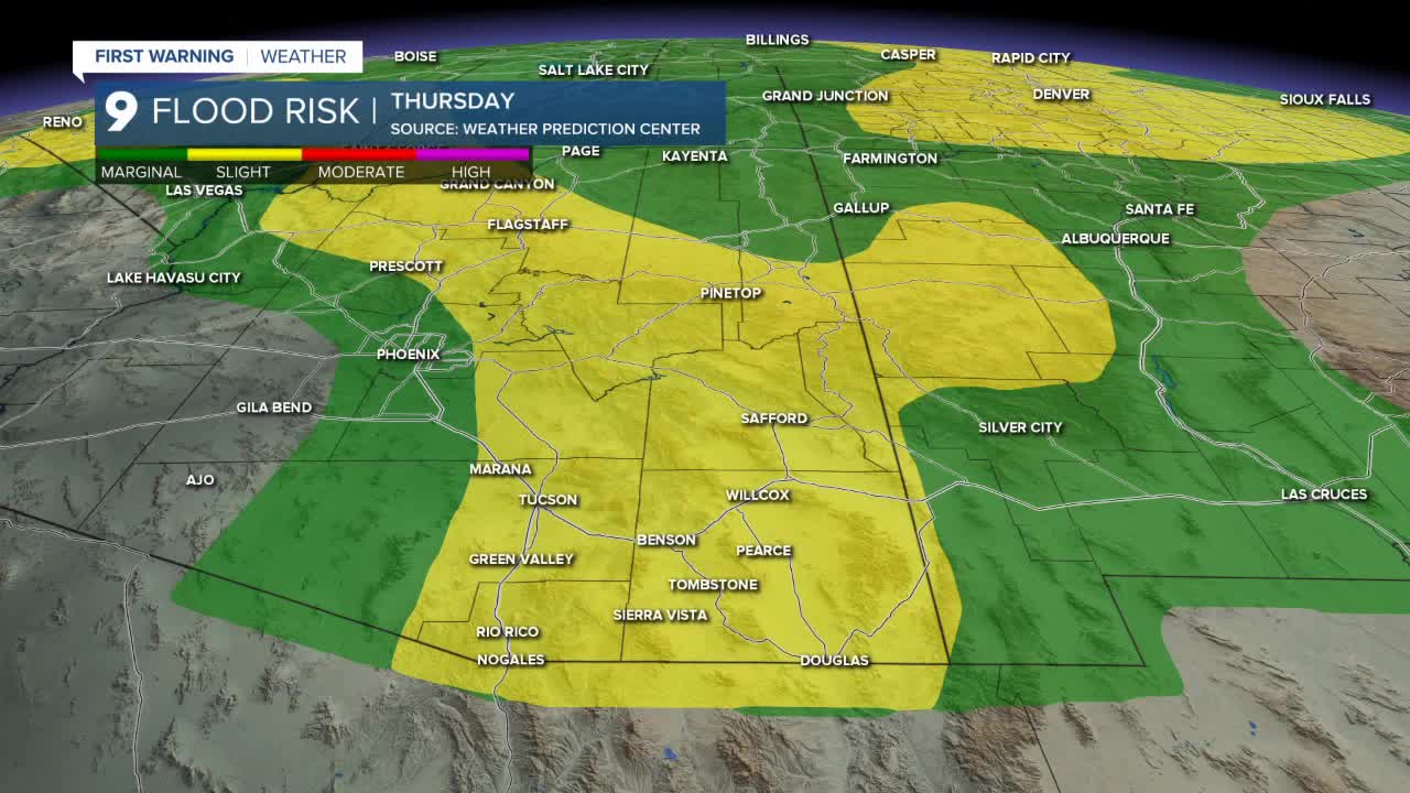


TUCSON, Ariz. (KGUN) — A shifting weather pattern aloft combined with deep moisture across the region will bring scattered showers and thunderstorms to Southeast Arizona over the next few days.
Some storms could produce heavy rain. Most storms are expected to produce between a half-inch and 1 inch of rainfall, while stronger storms could drop locally heavier amounts between 1 and 3 inches.
A drier southwest flow aloft will then move into the region, leading to a decrease in daily storm activity Friday into the weekend.
Temperatures will also fluctuate through the week. Highs will be near normal Wednesday before falling 3 to 6 degrees below normal Thursday. Temperatures are expected to warm again heading into the weekend.
Thursday morning will bring comfortable temperatures across Southern Arizona.
Tucson is forecast to see an overnight low around 72 degrees, with most communities across Pima County waking up to temperatures in the 70s.
Across Cochise County, overnight lows will generally fall into the 60s. Sierra Vista is forecast to start the day around 63 degrees.
Triple-digit temperatures will be absent from most of Southern Arizona Thursday.
Tucson is expected to reach a high near 94 degrees, while Sierra Vista warms to around 83 degrees.
The western deserts will remain warmer, with Ajo and Organ Pipe approaching the century mark at around 99 degrees.
----
MORE WEATHER
WEATHER STATS AND FACTS
