
TUCSON, Ariz. (KGUN) — A rare weather pattern will take shape through the end of the week and bring a significant flash flood threat back to Arizona. We are used to seeing weather systems move west to east across the state. Occasionally, we’ll see our weather arrive from the east. This will be the case through the end of the week as a low-pressure system that has developed over Texas will move west and arrive over eastern Arizona by Friday.

This will bring more moisture into the area and create enough instability to produce numerous showers and thunderstorms. The low-pressure system will stall over eastern Arizona and western New Mexico for a few days and several bands of rain will be possible from Thursday evening into Saturday evening and possibly into Sunday.
The thunderstorms developing around this system will likely be slow-moving and capable of producing heavy rain along with gusty wind. Flooding will be quicker to occur over areas already saturated by recent rainfall. Also, trees will be more susceptible to toppling over where the ground has been softened by an excess of rain and runoff.
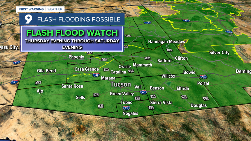
A Flash Flood Watch goes into effect Thursday evening and will remain in effect through Saturday evening. The watch covers most of the state of Arizona as most areas will be susceptible to seeing flash flooding. Several inches of rain could fall from Thursday through Saturday and could resemble late July of 2006 when a similar weather pattern developed over the area. During that stretch, many washes flooded and the Rillito River was turned into a raging river full from bank to bank.
As of now, most weather models are pointing to the Rim Country and the White Mountains as seeing the most rain. The mountains and higher elevations of southeastern Arizona will see the most rain. Just remember, rain that falls in the mountains will come downhill via streams and washes.

Keep in mind, a Flood Watch means conditions exist that could lead to flash flooding. During a Watch, you should be prepared to move to higher ground if water starts to rise. A Flood Warning means flooding is happening or is about to happen and you need to take action. This means seeking higher ground and not attempting to cross floodwaters.

We need to remember the dangers of flooding. Flooding can occur in a matter of minutes (hence the name flash) and often happens miles away from where the storm that is producing the heavy rain. On days when heavy rain is in the forecast, it’s best to play it safe and stay away from
streams and washes. According to the National Weather Service, flooding remains the number one storm-related killer over the past 30 years.

The power of swiftly moving water is often underestimated and this is what leads to people finding themselves in dangerous situations. Only 6” of swiftly moving water can sweep an average-sized adult off their feet and it takes even less to sweep a child away. Drivers are often fooled into thinking their vehicle can make it across floodwaters until they find out how powerful the current is and how fast you lose control. At this point, without any traction, you’re just along for the ride and in serious risk of injury or death.

As is the case with most severe weather, preparation is the key to preventing tragedy. Understanding the dangers of weather and paying attention to conditions will give you a great advantage to avoiding property damage, personal injury or even death. The First Warning weather team will keep you informed as changes evolve and as advisories or warnings are issued. Please be careful through the weekend and remember... Turn Around, Don’t Drown!
